
File:Location Transnistria Europe.png

本预览的尺寸:687 × 600像素。 其他分辨率:275 × 240像素 | 550 × 480像素 | 880 × 768像素 | 1,173 × 1,024像素 | 2,052 × 1,792像素。
原始文件 (2,052 × 1,792像素,文件大小:419 KB,MIME类型:image/png)
摘要
| 描述 |
English: Location Moldova Europe.png
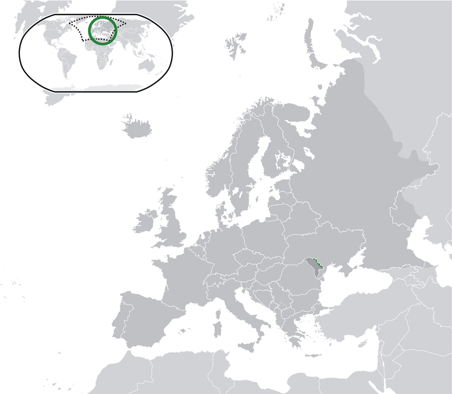
English: Transnistria (green) / Moldova (dark grey) / Europe and other regions (light grey); inspired by and consistent with general country locator maps by User:Vardion, et al |
| 日期 | |
| 来源 | 自己的作品 |
| 作者 | CatJar |
许可协议
| 我,本作品著作权人,释出本作品至公有领域。这适用于全世界。 在一些国家这可能不合法;如果是这样的话,那么: 我无条件地授予任何人以任何目的使用本作品的权利,除非这些条件是法律规定所必需的。 |
文件历史
点击某个日期/时间查看对应时刻的文件。
| 日期/时间 | 缩略图 | 大小 | 用户 | 备注 | |
|---|---|---|---|---|---|
| 当前 | 2020年7月11日 (六) 23:57 | | 2,052 × 1,792(419 KB) | De728631 | added South Sudan to World map |
| 2009年12月24日 (四) 22:29 |  | 2,052 × 1,792(353 KB) | CatJar | {{Information |Description={{en|1= Location Moldova Europe.png '''English:''' Transnistria (green) / Moldova (dark grey) / Europe and other regions (light grey); inspired by and consistent with general country locator maps by User:Vardion, et al}} |Source |
文件用途
以下页面使用本文件:
全域文件用途
以下其他wiki使用此文件:
- af.wikipedia.org上的用途
- ar.wikipedia.org上的用途
- be-tarask.wikipedia.org上的用途
- crh.wikipedia.org上的用途
- cs.wikipedia.org上的用途
- el.wikivoyage.org上的用途
- en.wikipedia.org上的用途
- eo.wikipedia.org上的用途
- fa.wikipedia.org上的用途
- fr.wikipedia.org上的用途
- incubator.wikimedia.org上的用途
- lv.wikipedia.org上的用途
- mg.wikipedia.org上的用途
- ml.wikipedia.org上的用途
- pt.wikipedia.org上的用途
- vi.wikipedia.org上的用途
- war.wikipedia.org上的用途