
File:Angelesnationalforest.jpg
預覽大小:800 × 600 像素。 其他解析度:320 × 240 像素 | 640 × 480 像素 | 1,024 × 768 像素 | 1,280 × 960 像素 | 1,632 × 1,224 像素。
原始檔案 (1,632 × 1,224 像素,檔案大小:523 KB,MIME 類型:image/jpeg)
摘要
| 描述 |
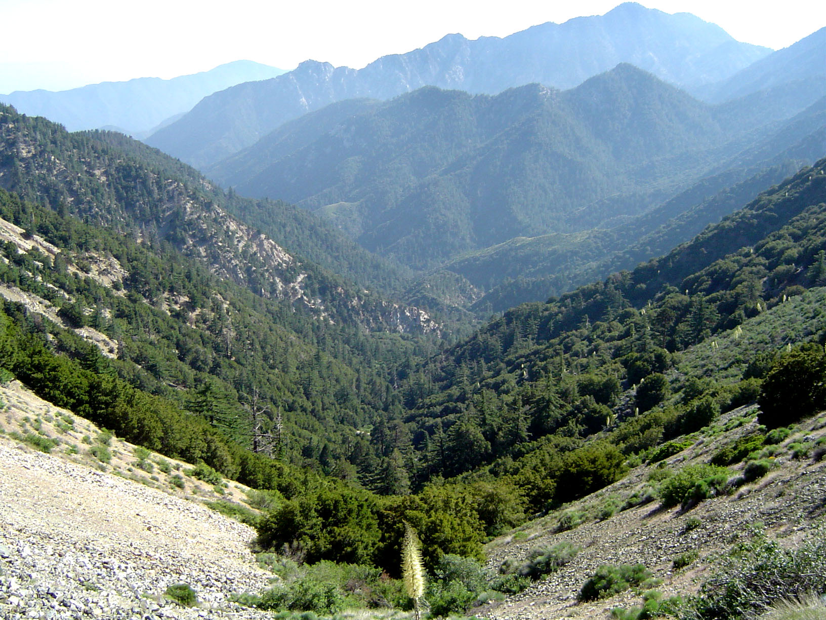
English: The San Gabriel Mountains, part of the Angeles National Forest in Los Angeles County, California.
|
| 日期 | 2005年6月25日 — 2005年6月27日 (原始上傳日期) |
| 來源 | Transferred from en.wikipedia to Commons by IngerAlHaosului using CommonsHelper. |
| 作者 | Geographer at en.wikipedia |
| 授權許可 (重用此檔案) |
CC-BY. |
授權條款
此檔案採用創用CC 姓名標示 1.0 通用版授權條款。
- 您可以自由:
- 分享 – 複製、發佈和傳播本作品
- 重新修改 – 創作演繹作品
- 惟需遵照下列條件:
- 姓名標示 – 您必須指名出正確的製作者,和提供授權條款的連結,以及表示是否有對內容上做出變更。您可以用任何合理的方式來行動,但不得以任何方式表明授權條款是對您許可或是由您所使用。
原始上傳日誌
The original description page was here. All following user names refer to en.wikipedia.
- 2005-06-27 02:40 Geographer 1632×1224× (535148 bytes) Photographed and uploaded by user:Geographer. Angeles National Forest at about 6500 feet looking toward Los Angeles, June 25, 2005 {{Cc-by-1.0}}
檔案歷史
點選日期/時間以檢視該時間的檔案版本。
| 日期/時間 | 縮圖 | 尺寸 | 使用者 | 備註 | |
|---|---|---|---|---|---|
| 目前 | 2010年1月14日 (四) 09:17 | | 1,632 × 1,224(523 KB) | File Upload Bot (Magnus Manske) | {{BotMoveToCommons|en.wikipedia|year={{subst:CURRENTYEAR}}|month={{subst:CURRENTMONTHNAME}}|day={{subst:CURRENTDAY}}}} {{Information |Description={{en|Photographed and uploaded by user:Geographer. The San Gabriel Mountains, part of the Angeles National |
檔案用途
全域檔案使用狀況
以下其他 wiki 使用了這個檔案:
- ar.wikipedia.org 的使用狀況
- arz.wikipedia.org 的使用狀況
- ca.wikipedia.org 的使用狀況
- ceb.wikipedia.org 的使用狀況
- de.wikipedia.org 的使用狀況
- en.wikipedia.org 的使用狀況
- List of national forests of the United States
- Angeles National Forest
- San Gabriel River (California)
- Portal:Greater Los Angeles
- Portal:Greater Los Angeles/L.A. Districts
- California montane chaparral and woodlands
- Geography of southern California
- California Historical Landmarks in Los Angeles County
- Wikipedia:WikiProject U.S. counties/Guideline
- en.wikivoyage.org 的使用狀況
- es.wikipedia.org 的使用狀況
- fa.wikipedia.org 的使用狀況
- fr.wikipedia.org 的使用狀況
- he.wikivoyage.org 的使用狀況
- it.wikipedia.org 的使用狀況
- ml.wikipedia.org 的使用狀況
- nl.wikipedia.org 的使用狀況
- pl.wikipedia.org 的使用狀況
- ru.wikipedia.org 的使用狀況
- th.wikipedia.org 的使用狀況
- www.wikidata.org 的使用狀況